Environmental monitoring
Creation of a digital urban 3D twin to provide information on the dangers of heavy rainfall

Copyright©
AdobeStock l DK DD
Creation of a digital urban 3D twin to provide information on the dangers of heavy rainfall
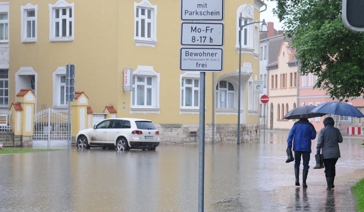
An initial development status of the digital heavy rain twin has been published. This prototype can be used to depict various flooding situations in the event of heavy rainfall of around 30 to 50 liters per square meter per hour. Potential damage to residential buildings in the urban area of Dresden can be determined for these scenarios.
Because the application should be as easy to use as possible, users are invited to try out the functionalities and share their experiences via an online survey .
The measure uses sensors to record environmental data in areas at risk of heavy rainfall and display it in an urban digital 3D twin for the urban area south of the Elbe. At the same time, a digital platform for inter-agency administrative cooperation and public provision of environmental data is being created.
The aim is to better protect the city from flooding damage by publicly presenting data on the actual rainfall, its effects and possible structural measures in an intuitively usable 3D city model. The integrated sensor data improves precipitation analyses and flood forecasts. The project creates instruments to warn of heavy rainfall so that damage caused by extreme events can be reduced in the future.


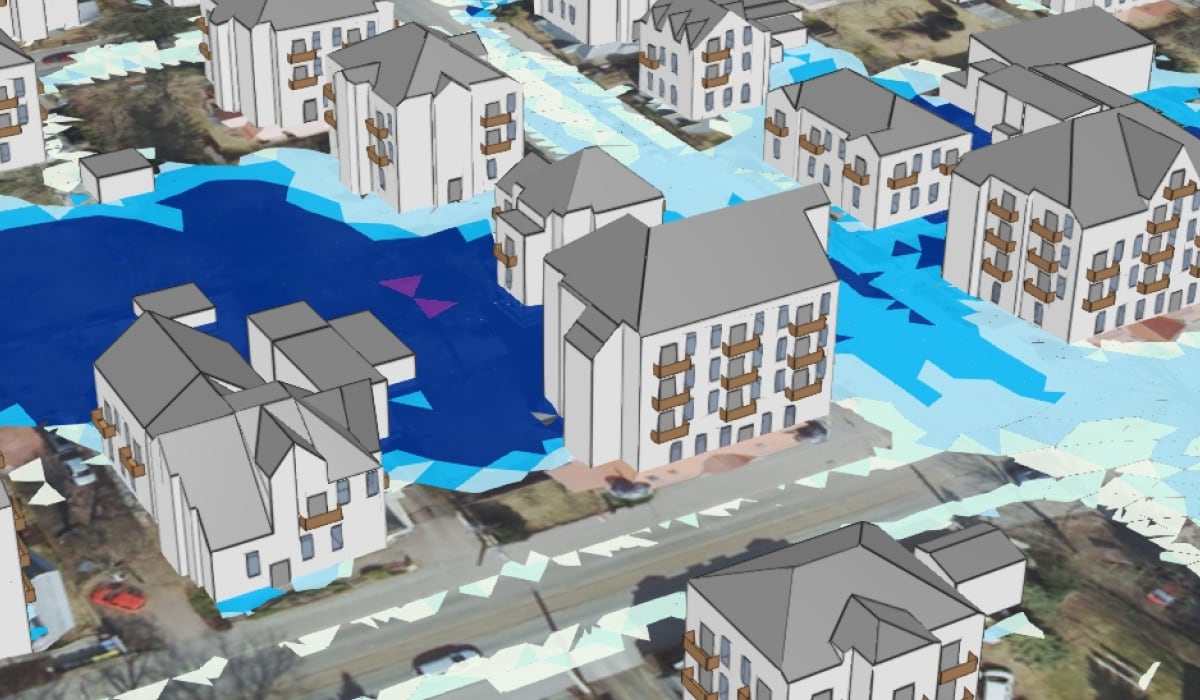
The city can be experienced in an interactive 3D model with buildings, streets and bodies of water. Information on flooding risks and potential damage caused by heavy rainfall as well as structural recommendations for action help to improve the protection of people and buildings.

Thanks to sensor-based environmental monitoring, up-to-date data on the weather situation in the neighborhood is available. This can help to warn of severe weather hazards.
In the urban digital twin of the city, the population can not only view environmental data acutely in hazardous situations - forecasts can also be displayed.
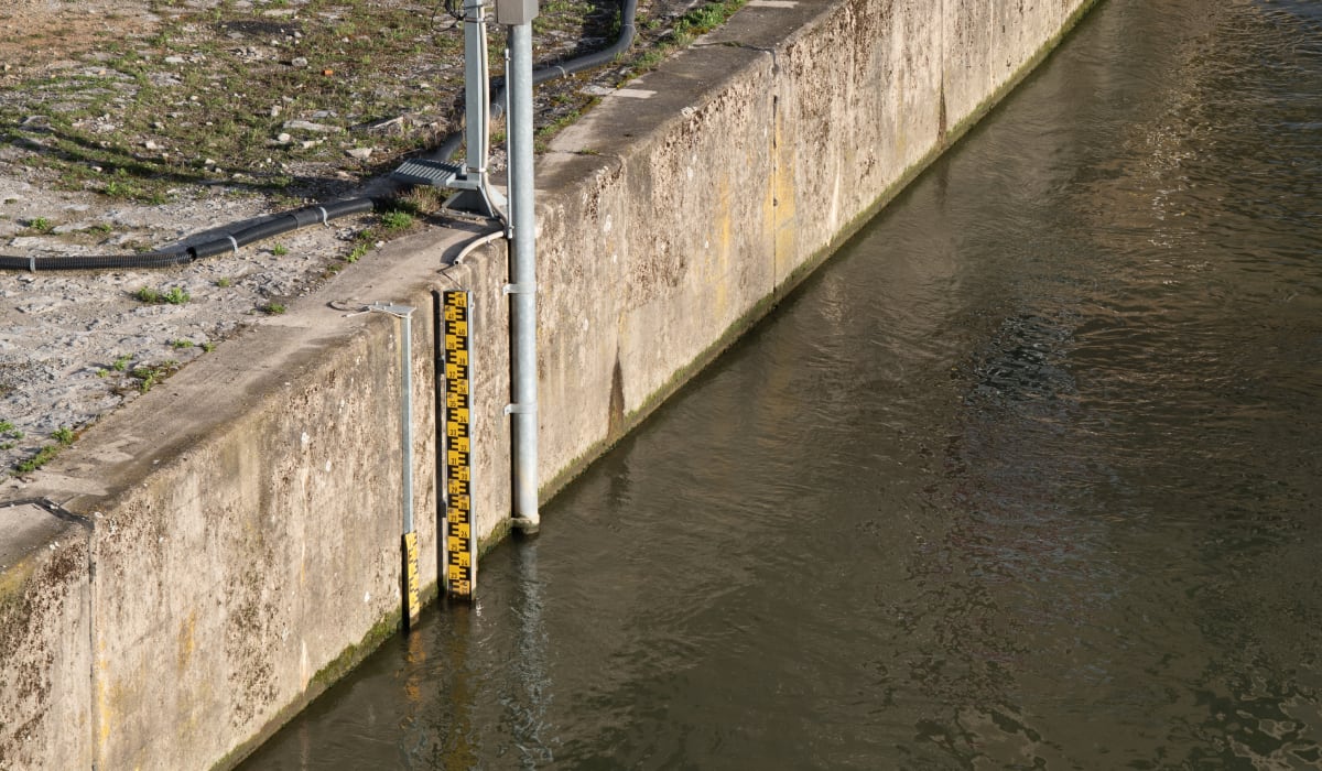
Environmental monitoring improves the city's resilience to extreme weather events. The water level in rainwater retention basins and small bodies of water can be tracked in real time in order to understand how the city reacts to them.


The urban digital 3D twin enables precise access to environmental and weather data and supports companies in making informed decisions about investments that will be necessary in the future.
The urban digital 3D twin creates new opportunities for energy-efficient construction projects and climate adaptation strategies. It serves as a reliable digital information basis for sustainable urban development.
Detailed flooding scenarios help companies to identify risks from heavy rainfall at an early stage and implement the necessary measures in good time. Statistical analyses are also beneficial in the insurance sector, for example.

By participating in the further development of the open source solutions of the urban digital 3D twin, a sustainable transformation is promoted both in their own city and in other municipalities.

The Institute of Building in a Changing Climate aims to make a lasting contribution to climate adaptation in the construction industry through application-oriented research, consulting and innovation and thus to strengthening the resilience of cities and municipalities to environmental impacts.

The Institute of Hydraulic Engineering and Technical Hydromechanics conducts research into flood protection, river engineering and near-natural watercourse development.
The Institute of Photogrammetry and Remote Sensing deals with the integration of sensor technology and evaluation methods to develop efficient solutions for novel measurement tasks.

Stadtentwässerung Dresden GmbH ensures the safe discharge and treatment of wastewater from Dresden.
